
Gaskin topographic map
Interactive map
Click on the map to display elevation.
About this map
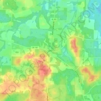
Name: Gaskin topographic map, elevation, terrain.
Location: Gaskin, Walton County, Florida, United States of America (30.95101 -86.15550 30.99101 -86.11550)
Average elevation: 223 ft
Minimum elevation: 138 ft
Maximum elevation: 325 ft