
Rankweil topographic map
Interactive map
Click on the map to display elevation.
About this map
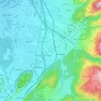
Name: Rankweil topographic map, elevation, terrain.
Location: Rankweil, Feldkirch, Vorarlberg, 6830, Österreich (47.23901 9.57633 47.30714 9.68788)
Average elevation: 1,975 ft
Minimum elevation: 1,385 ft
Maximum elevation: 4,341 ft