
Spottswood topographic map
Interactive map
Click on the map to display elevation.
About this map
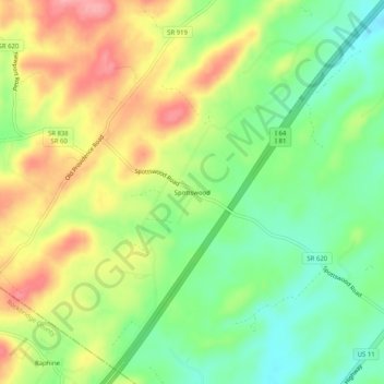
Name: Spottswood topographic map, elevation, terrain.
Location: Spottswood, Augusta County, Virginia, 24475, United States (37.93513 -79.23364 37.97513 -79.19364)
Average elevation: 1,864 ft
Minimum elevation: 1,696 ft
Maximum elevation: 2,070 ft