
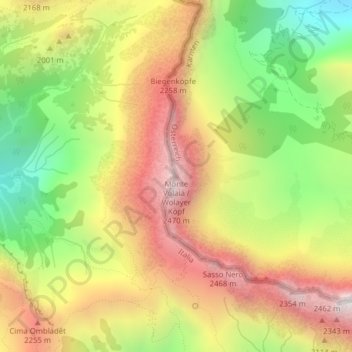
Monte Volaia / Wolayer Köpf topographic map
Interactive map
Click on the map to display elevation.
About this map
Name: Monte Volaia / Wolayer Köpf topographic map, elevation, terrain.
Average elevation: 6,293 ft
Minimum elevation: 4,331 ft
Maximum elevation: 8,186 ft