
Carlisle topographic map
Interactive map
Click on the map to display elevation.
About this map
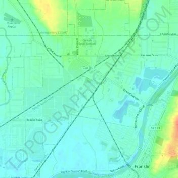
Name: Carlisle topographic map, elevation, terrain.
Location: Carlisle, Warren County, Ohio, United States (39.55625 -84.34567 39.59764 -84.29493)
Average elevation: 692 ft
Minimum elevation: 653 ft
Maximum elevation: 804 ft