
Laugarvatn topographic map
Interactive map
Click on the map to display elevation.
About this map
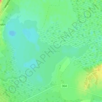
Name: Laugarvatn topographic map, elevation, terrain.
Location: Laugarvatn, Bláskógabyggð, Southern Region, Iceland (64.20049 -20.72989 64.21967 -20.67702)
Average elevation: 220 ft
Minimum elevation: 180 ft
Maximum elevation: 318 ft