
Lago Musha Karusha topographic map
Interactive map
Click on the map to display elevation.
About this map
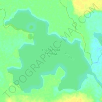
Name: Lago Musha Karusha topographic map, elevation, terrain.
Location: Lago Musha Karusha, Pastaza, Datem del Marañón, Loreto, Perú (-4.45038 -76.73615 -4.38517 -76.65684)
Average elevation: 449 ft
Minimum elevation: 423 ft
Maximum elevation: 486 ft