
Souamaa topographic map
Interactive map
Click on the map to display elevation.
About this map
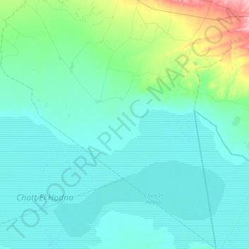
Name: Souamaa topographic map, elevation, terrain.
Location: Souamaa, Daïra Ouled Derradj, M'Sila, Algérie (35.36470 4.56200 35.67215 4.88954)
Average elevation: 1,378 ft
Minimum elevation: 1,273 ft
Maximum elevation: 2,011 ft