
Macamot topographic map
Click on the map to display elevation.
About this map
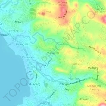
Name: Macamot topographic map, elevation, terrain.
Location: Macamot, Binangonan, Rizal, Calabarzon, 1904, Philippines (14.46686 121.17662 14.50686 121.21662)
Average elevation: 144 ft
Minimum elevation: 0 ft
Maximum elevation: 482 ft
Other topographic maps
Click on a map to view its topography, its elevation and its terrain.