
Brugarolo topographic map
Interactive map
Click on the map to display elevation.
About this map
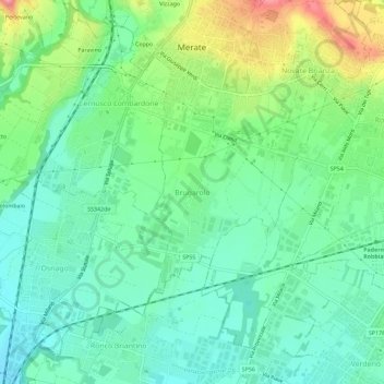
Name: Brugarolo topographic map, elevation, terrain.
Location: Brugarolo, Merate, Lecco, Lombardia, 23870, Italia (45.66355 9.39172 45.70355 9.43172)
Average elevation: 866 ft
Minimum elevation: 751 ft
Maximum elevation: 1,129 ft