
སེང་གེ་གཙང་པོ (狮泉河) topographic map
Interactive map
Click on the map to display elevation.
About this map
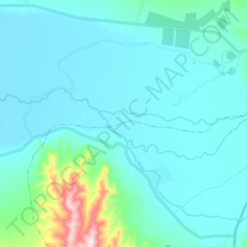
Name: སེང་གེ་གཙང་པོ (狮泉河) topographic map, elevation, terrain.
Average elevation: 14,127 ft
Minimum elevation: 13,924 ft
Maximum elevation: 15,728 ft