
Malmasin topographic map
Interactive map
Click on the map to display elevation.
About this map
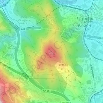
Name: Malmasin topographic map, elevation, terrain.
Location: Malmasin, Arrigorriaga, Vizcaya, País Vasco, 48970, España (43.22735 -2.90290 43.22745 -2.90280)
Average elevation: 456 ft
Minimum elevation: 46 ft
Maximum elevation: 1,276 ft
Other topographic maps
Click on a map to view its topography, its elevation and its terrain.
Arrigorriaga
España > País Vasco > Arrigorriaga
Arrigorriaga, Vizcaya, País Vasco, 48480, España
Average elevation: 564 ft