
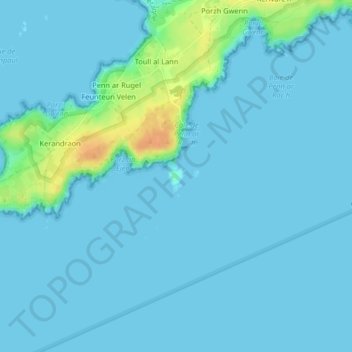
Île de Penn ar Roc'h topographic map
Interactive map
Click on the map to display elevation.
About this map
Name: Île de Penn ar Roc'h topographic map, elevation, terrain.
Location: Île de Penn ar Roc'h, Ar Godec, France métropolitaine, France (48.43869 -5.08987 48.44008 -5.08779)
Average elevation: 16 ft
Minimum elevation: 0 ft
Maximum elevation: 115 ft