
火焰山 topographic map
Interactive map
Click on the map to display elevation.
About this map
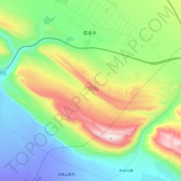
Name: 火焰山 topographic map, elevation, terrain.
Location: 火焰山, Singgimtay, 鄯善县, 吐鲁番市, 新疆维吾尔自治区, 中国 (42.85371 89.55371 42.95227 89.73344)
Average elevation: 823 ft
Minimum elevation: -180 ft
Maximum elevation: 2,680 ft