
El Potosi topographic map
Interactive map
Click on the map to display elevation.
About this map
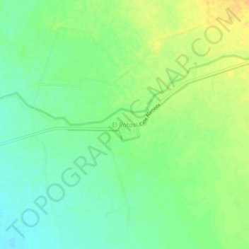
Name: El Potosi topographic map, elevation, terrain.
Location: El Potosi, Poanas, Durango, México (23.92778 -104.12246 23.96778 -104.08246)
Average elevation: 6,171 ft
Minimum elevation: 6,129 ft
Maximum elevation: 6,217 ft