
Takeley topographic map
Interactive map
Click on the map to display elevation.
About this map
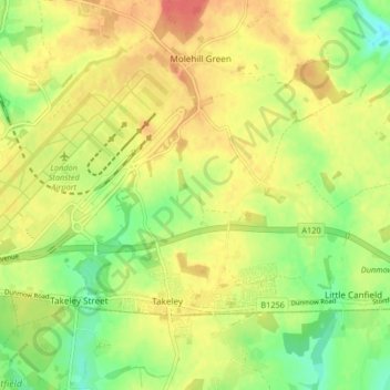
Name: Takeley topographic map, elevation, terrain.
Location: Takeley, Uttlesford, Essex, England, United Kingdom (51.86146 0.22185 51.90227 0.30413)
Average elevation: 322 ft
Minimum elevation: 233 ft
Maximum elevation: 397 ft