
Kampung Manggol topographic map
Interactive map
Click on the map to display elevation.
About this map
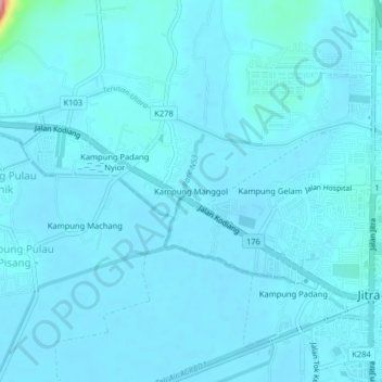
Name: Kampung Manggol topographic map, elevation, terrain.
Location: Kampung Manggol, Jitra, Kubang Pasu, Kedah, 06000, Malaysia (6.25752 100.38100 6.29752 100.42100)
Average elevation: 36 ft
Minimum elevation: 3 ft
Maximum elevation: 518 ft