
Celaya topographic map
Interactive map
Click on the map to display elevation.
About this map
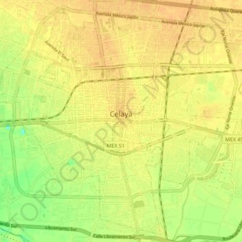
Name: Celaya topographic map, elevation, terrain.
Location: Celaya, Guanajuato, Mexico (20.48479 -100.85488 20.55428 -100.77578)
Average elevation: 5,761 ft
Minimum elevation: 5,699 ft
Maximum elevation: 5,784 ft
Other topographic maps
Click on a map to view its topography, its elevation and its terrain.
Celaya
Mexico > Guanajuato > Celaya > Celaya
Celaya, Guanajuato, 38000, Mexico
Average elevation: 6,142 ft