
Sangaree Island topographic map
Interactive map
Click on the map to display elevation.
About this map
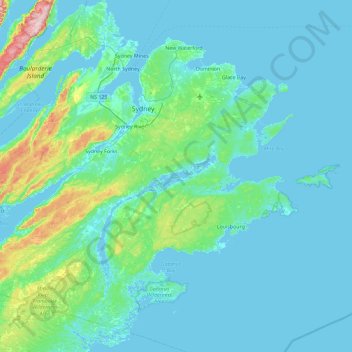
Name: Sangaree Island topographic map, elevation, terrain.
Average elevation: 112 ft
Minimum elevation: -10 ft
Maximum elevation: 1,076 ft
Other topographic maps
Click on a map to view its topography, its elevation and its terrain.
Morley Bay
Canada > Nova Scotia > Cape Breton Regional Municipality > Albert Bridge
Morley Bay, Albert Bridge, Cape Breton Regional Municipality, Cape Breton County, Nova Scotia, B1K 3H9, Canada
Average elevation: 20 ft