
思陵 topographic map
Interactive map
Click on the map to display elevation.
About this map
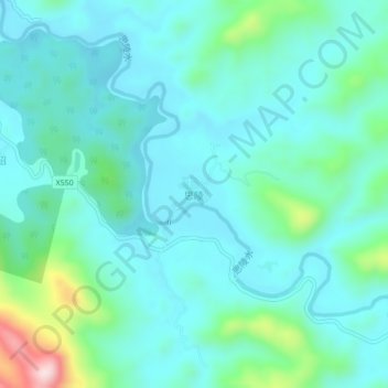
Name: 思陵 topographic map, elevation, terrain.
Location: 思陵, 宁明县, Chongzuo, Guangxi, China (21.84604 107.10908 21.88604 107.14908)
Average elevation: 755 ft
Minimum elevation: 538 ft
Maximum elevation: 1,732 ft