Bhairav Takura topographic map
Interactive map
Click on the map to display elevation.
About this map
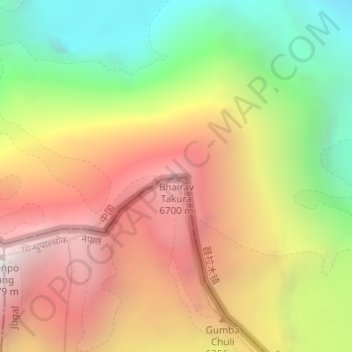
Name: Bhairav Takura topographic map, elevation, terrain.
Average elevation: 19,170 ft
Minimum elevation: 15,348 ft
Maximum elevation: 22,854 ft

Click on the map to display elevation.
Name: Bhairav Takura topographic map, elevation, terrain.
Average elevation: 19,170 ft
Minimum elevation: 15,348 ft
Maximum elevation: 22,854 ft