
Guat topographic map
Interactive map
Click on the map to display elevation.
About this map
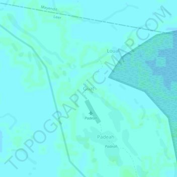
Name: Guat topographic map, elevation, terrain.
Location: Guat, Leer, Unity, South Sudan (8.39484 30.16513 8.43484 30.20513)
Average elevation: 1,302 ft
Minimum elevation: 1,296 ft
Maximum elevation: 1,309 ft