
Beni Guecha topographic map
Interactive map
Click on the map to display elevation.
About this map
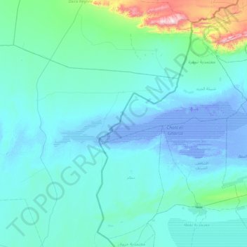
Name: Beni Guecha topographic map, elevation, terrain.
Location: Beni Guecha, Daïra Taleb Larbi, El Oued, Algérie (33.88354 6.94395 34.34055 7.80882)
Average elevation: 223 ft
Minimum elevation: -92 ft
Maximum elevation: 2,844 ft