
Uscio topographic map
Interactive map
Click on the map to display elevation.
About this map
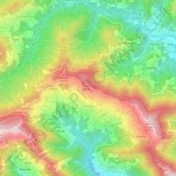
Name: Uscio topographic map, elevation, terrain.
Location: Uscio, Gênes, Ligurie, Italie (44.39735 9.12954 44.43734 9.18451)
Average elevation: 1,152 ft
Minimum elevation: 338 ft
Maximum elevation: 2,152 ft