
Perais topographic map
Interactive map
Click on the map to display elevation.
About this map
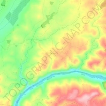
Name: Perais topographic map, elevation, terrain.
Location: Perais, Vila Velha de Ródão, Castelo Branco, Portugal (39.64712 -7.59831 39.68712 -7.55831)
Average elevation: 515 ft
Minimum elevation: 217 ft
Maximum elevation: 814 ft