
Udahamulla topographic map
Interactive map
Click on the map to display elevation.
About this map
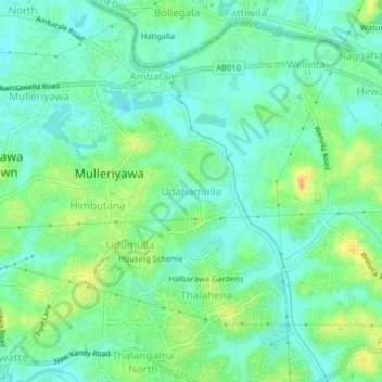
Name: Udahamulla topographic map, elevation, terrain.
Location: Udahamulla, Colombo District, Western Province, 10620, Sri Lanka (6.90537 79.92916 6.94537 79.96916)
Average elevation: 43 ft
Minimum elevation: -3 ft
Maximum elevation: 128 ft