
Gringsing topographic map
Interactive map
Click on the map to display elevation.
About this map
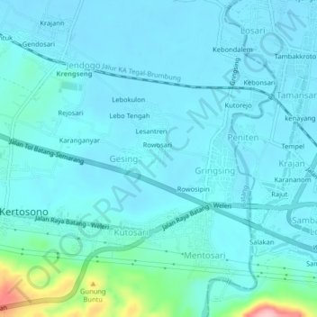
Name: Gringsing topographic map, elevation, terrain.
Location: Gringsing, Batang, Central Java, 51355, Indonesia (-6.98422 110.01861 -6.94422 110.05861)
Average elevation: 92 ft
Minimum elevation: 16 ft
Maximum elevation: 620 ft