
稻香村街道 topographic map
Interactive map
Click on the map to display elevation.
About this map
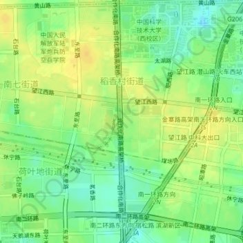
Name: 稻香村街道 topographic map, elevation, terrain.
Location: 稻香村街道, 蜀山区, 合肥市, 安徽省, 中国 (31.81565 117.24581 31.84377 117.26350)
Average elevation: 125 ft
Minimum elevation: 79 ft
Maximum elevation: 157 ft
Other topographic maps
Click on a map to view its topography, its elevation and its terrain.