
San Carlo Terme topographic map
Interactive map
Click on the map to display elevation.
About this map
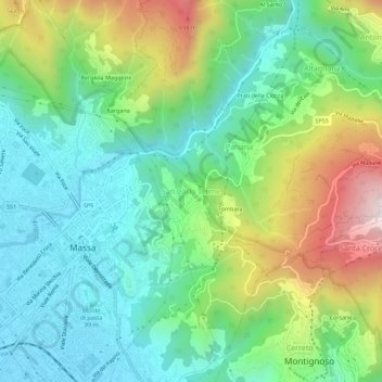
Name: San Carlo Terme topographic map, elevation, terrain.
Location: San Carlo Terme, Massa, Massa-Carrara, Toscana, 54100, Italia (44.02185 10.13533 44.06185 10.17533)
Average elevation: 945 ft
Minimum elevation: 82 ft
Maximum elevation: 2,799 ft