
Trinta topographic map
Interactive map
Click on the map to display elevation.
About this map
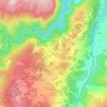
Name: Trinta topographic map, elevation, terrain.
Location: Trinta, Guarda, Portugal (40.48380 -7.37498 40.52380 -7.33498)
Average elevation: 2,831 ft
Minimum elevation: 2,119 ft
Maximum elevation: 3,514 ft