
Greenwood topographic map
Interactive map
Click on the map to display elevation.
About this map
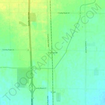
Name: Greenwood topographic map, elevation, terrain.
Location: Greenwood, Glenn County, California, United States (39.67599 -122.21443 39.71599 -122.17443)
Average elevation: 226 ft
Minimum elevation: 197 ft
Maximum elevation: 259 ft