
San Nicola topographic map
Interactive map
Click on the map to display elevation.
About this map
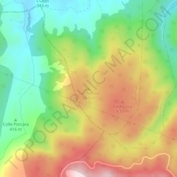
Name: San Nicola topographic map, elevation, terrain.
Location: San Nicola, Artena, Roma Capitale, Latium, Italie (41.70048 12.94900 41.70058 12.94910)
Average elevation: 1,614 ft
Minimum elevation: 981 ft
Maximum elevation: 2,425 ft
Other topographic maps
Click on a map to view its topography, its elevation and its terrain.
Artena
Italie > Latium > Roma Capitale > Artena
Artena, Roma Capitale, Latium, 00031, Italie
Average elevation: 1,286 ft