
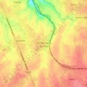
Villers-Saint-Siméon topographic map
Interactive map
Click on the map to display elevation.
About this map
Name: Villers-Saint-Siméon topographic map, elevation, terrain.
Location: Villers-Saint-Siméon, Luik, Wallonië, 4453, België (50.68936 5.52411 50.72936 5.56411)
Average elevation: 499 ft
Minimum elevation: 344 ft
Maximum elevation: 571 ft