
Jungnang-gu topographic map
Interactive map
Click on the map to display elevation.
About this map
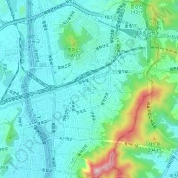
Name: Jungnang-gu topographic map, elevation, terrain.
Location: Jungnang-gu, Seoul, South Korea (37.56955 127.06938 37.62107 127.11836)
Average elevation: 213 ft
Minimum elevation: 23 ft
Maximum elevation: 1,073 ft