
Panao topographic map
Interactive map
Click on the map to display elevation.
About this map
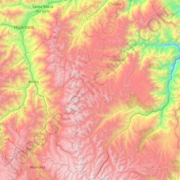
Name: Panao topographic map, elevation, terrain.
Location: Panao, Pachitea, Huánuco, Perú (-10.48889 -76.06738 -9.83167 -75.64666)
Average elevation: 10,659 ft
Minimum elevation: 3,740 ft
Maximum elevation: 16,434 ft