
Ōtake topographic map
Interactive map
Click on the map to display elevation.
About this map
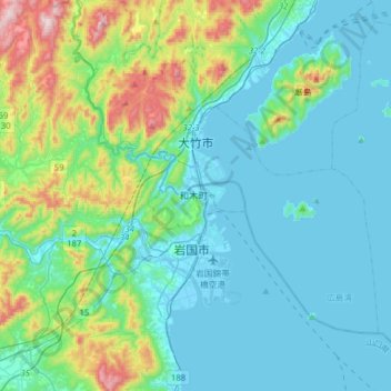
Name: Ōtake topographic map, elevation, terrain.
Location: Ōtake, Prefectura de Hiroshima, Japón (34.10996 132.12398 34.33171 132.36952)
Average elevation: 456 ft
Minimum elevation: -13 ft
Maximum elevation: 2,352 ft