
鲘门街道 topographic map
Interactive map
Click on the map to display elevation.
About this map
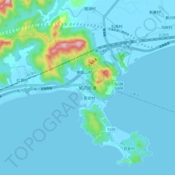
Name: 鲘门街道 topographic map, elevation, terrain.
Location: 鲘门街道, 海丰县, 汕尾市, 广东省, 中国 (22.77449 115.11761 22.85449 115.19761)
Average elevation: 102 ft
Minimum elevation: -7 ft
Maximum elevation: 1,152 ft