
Castellolí topographic map
Interactive map
Click on the map to display elevation.
About this map
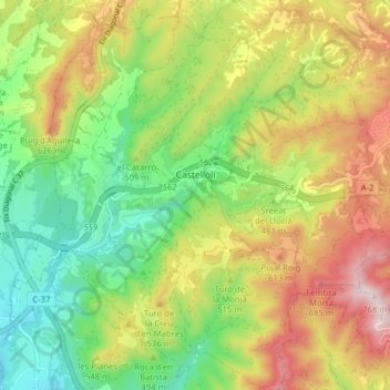
Name: Castellolí topographic map, elevation, terrain.
Location: Castellolí, Anoia, Barcelona, Cataluña, 08719, España (41.56558 1.67079 41.62432 1.74609)
Average elevation: 1,591 ft
Minimum elevation: 932 ft
Maximum elevation: 2,470 ft
La altitud del municipio oscila entre los 706 metros (cerro de la Avellana) al sureste y los 320 metros a orillas de la riera de Castellolí. El pueblo se alza a 390 metros sobre el nivel del mar.