
Gemeinde Kaunertal topographic map
Interactive map
Click on the map to display elevation.
About this map
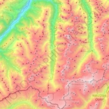
Name: Gemeinde Kaunertal topographic map, elevation, terrain.
Location: Gemeinde Kaunertal, Bezirk Landeck, Tirol, 6524, Österreich (46.82251 10.66156 47.07186 10.82162)
Average elevation: 7,812 ft
Minimum elevation: 2,848 ft
Maximum elevation: 12,208 ft