
Pohangina River topographic map
Interactive map
Click on the map to display elevation.
About this map
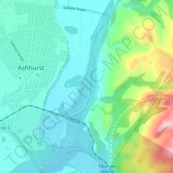
Name: Pohangina River topographic map, elevation, terrain.
Average elevation: 341 ft
Minimum elevation: 161 ft
Maximum elevation: 889 ft
Other topographic maps
Click on a map to view its topography, its elevation and its terrain.
Palmerston North
New Zealand > Palmerston North
Palmerston North, Palmerston North City, Manawatu-Wanganui, 4440, New Zealand
Average elevation: 387 ft