
Johnston Corner topographic map
Interactive map
Click on the map to display elevation.
About this map
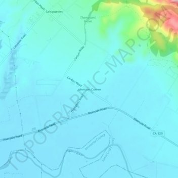
Name: Johnston Corner topographic map, elevation, terrain.
Location: Johnston Corner, Santa Cruz County, California, USA (36.90856 -121.72523 36.94856 -121.68523)
Average elevation: 105 ft
Minimum elevation: 30 ft
Maximum elevation: 712 ft