
Make a donation
Gear up for your next adventure:
As an Amazon Associate, this site earns from qualifying purchases at no extra cost to you.
Mathon topographic map
Click on the map to display elevation.
Make a donation
Gear up for your next adventure:
As an Amazon Associate, this site earns from qualifying purchases at no extra cost to you.
Mathon
Before 2017, the former municipality was located in the Schams sub-district, of the Hinterrhein district, after 2017 it was part of the Viamala Region. The village is a haufendorf (an irregular, unplanned and quite closely packed village, built around a central square) at an elevation of 1,521 m (4,990 ft) in the center of the upper Schamserberg region.
Make a donation
Gear up for your next adventure:
As an Amazon Associate, this site earns from qualifying purchases at no extra cost to you.
About this map
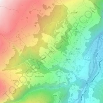
Name: Mathon topographic map, elevation, terrain.
Average elevation: 4,987 ft
Minimum elevation: 3,005 ft
Maximum elevation: 7,766 ft
Make a donation
Gear up for your next adventure:
As an Amazon Associate, this site earns from qualifying purchases at no extra cost to you.