
Valley of Gaza (Wadi Ghazza) topographic map
Interactive map
Click on the map to display elevation.
About this map
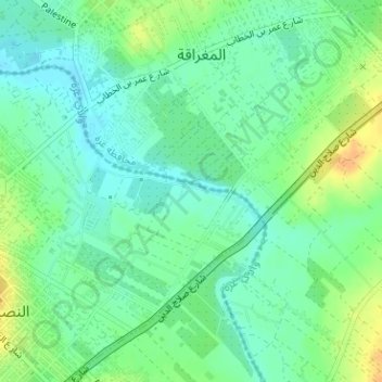
Name: Valley of Gaza (Wadi Ghazza) topographic map, elevation, terrain.
Average elevation: 56 ft
Minimum elevation: 13 ft
Maximum elevation: 121 ft