
Baha topographic map
Interactive map
Click on the map to display elevation.
About this map
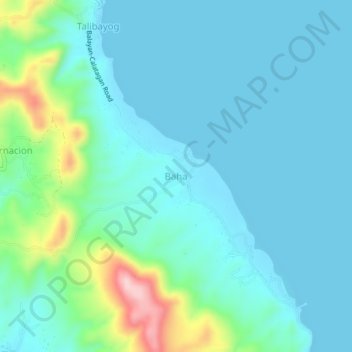
Name: Baha topographic map, elevation, terrain.
Location: Baha, Calatagan, Batangas, Calabarzon, 4215, Philippines (13.85608 120.68640 13.89608 120.72640)
Average elevation: 138 ft
Minimum elevation: 0 ft
Maximum elevation: 774 ft