
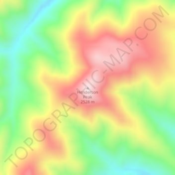
Henderson Peak topographic map
Interactive map
Click on the map to display elevation.
About this map
Name: Henderson Peak topographic map, elevation, terrain.
Location: Henderson Peak, Teton County, Idaho, USA (43.65348 -111.25527 43.65358 -111.25517)
Average elevation: 7,467 ft
Minimum elevation: 6,654 ft
Maximum elevation: 8,301 ft
Other topographic maps
Click on a map to view its topography, its elevation and its terrain.