
Condiro topographic map
Interactive map
Click on the map to display elevation.
About this map
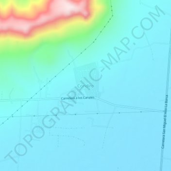
Name: Condiro topographic map, elevation, terrain.
Location: Condiro, La Barca, Jalisco, 47920, México (20.38493 -102.56999 20.42493 -102.52999)
Average elevation: 5,325 ft
Minimum elevation: 5,066 ft
Maximum elevation: 6,765 ft
Other topographic maps
Click on a map to view its topography, its elevation and its terrain.