La Tour-de-Trême topographic map
Interactive map
Click on the map to display elevation.
About this map
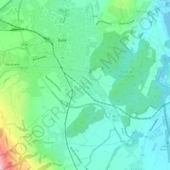
Name: La Tour-de-Trême topographic map, elevation, terrain.
Average elevation: 2,487 ft
Minimum elevation: 2,211 ft
Maximum elevation: 3,353 ft

Click on the map to display elevation.
Name: La Tour-de-Trême topographic map, elevation, terrain.
Average elevation: 2,487 ft
Minimum elevation: 2,211 ft
Maximum elevation: 3,353 ft