
Gizo topographic map
Interactive map
Click on the map to display elevation.
About this map
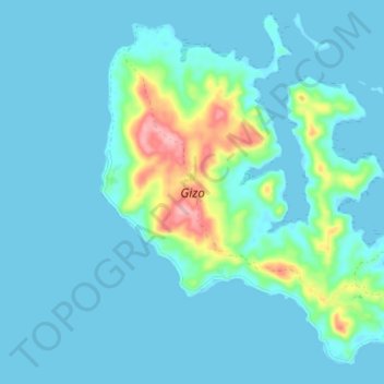
Name: Gizo topographic map, elevation, terrain.
Location: Gizo, Western, Solomon Islands (-8.11116 156.76833 -8.03888 156.84703)
Average elevation: 62 ft
Minimum elevation: -3 ft
Maximum elevation: 446 ft