
Laguna Perol topographic map
Interactive map
Click on the map to display elevation.
About this map
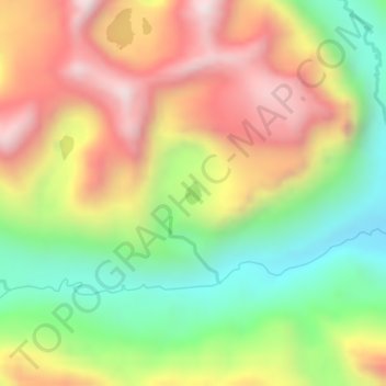
Name: Laguna Perol topographic map, elevation, terrain.
Location: Laguna Perol, Huicungo, Mariscal Cáceres, San Martín, Perú (-7.11441 -77.62929 -7.11275 -77.62806)
Average elevation: 12,260 ft
Minimum elevation: 11,276 ft
Maximum elevation: 13,202 ft