
Winscales topographic map
Interactive map
Click on the map to display elevation.
About this map
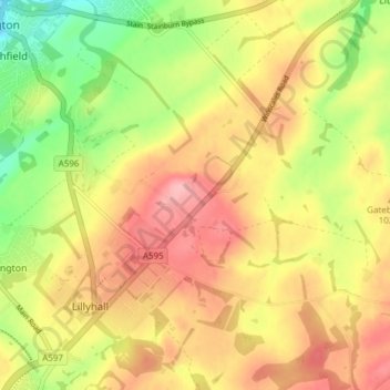
Name: Winscales topographic map, elevation, terrain.
Location: Winscales, Cumberland, England, United Kingdom (54.60023 -3.54091 54.64429 -3.47811)
Average elevation: 276 ft
Minimum elevation: 59 ft
Maximum elevation: 453 ft
Other topographic maps
Click on a map to view its topography, its elevation and its terrain.
Keswick
United Kingdom > England > Cumberland
Keswick, Cumberland, England, United Kingdom
Average elevation: 420 ft